Darwin, Australia
July 2026
And just when you thought it was over … there is another blog lol. I had never been to the Northern Territory before, so given that I disembarked my Asian Island Odessey in Darwin, it was the perfect opportunity to spend a couple of days exploring the area.
After clearing immigration and bio security, I made my way to my hotel to drop my bags. I hadn’t actually made any plans for the day so started out by taking a walk around the small downtown area, getting a new phone case (the old one was being held together by duct tape) and a coffee (this was definitely a priority).
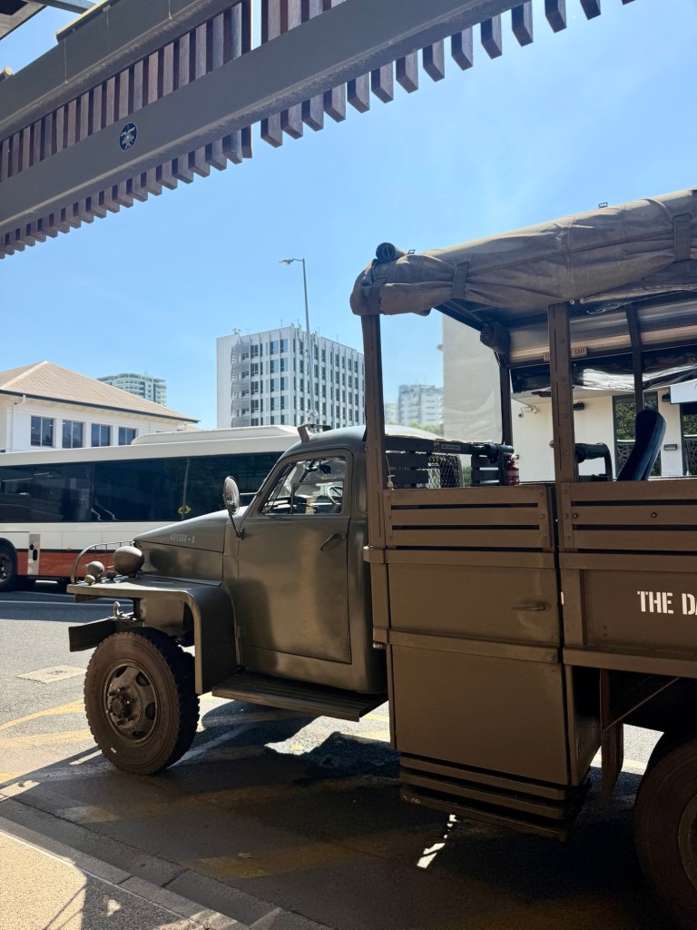
I then decided to take the Darwin History & Wartime experience which is done in an authentic WWII Studebaker. The truck not only served in the war but has also been in a number of movies. Our driver regailled us with stories about Darwin’s history, starting with the history of the European settlement in Darwin from cyclones to war and subsequent rebuilds.
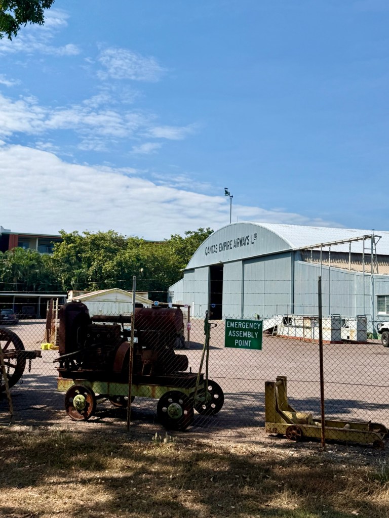
Darwin, then known as Palmerston, was initially founded in 1869 and was a strategic communication and trade hub, as it connected Australia to the world via the Overland Telegraph line. The discovery of gold nearby also helped the development of the town before being destroyed a number of times (by cyclones) before it became part of the Commonwealth in 1911 and was renamed Darwin (after Charles Darwin).
One of the key moments in Darwin’s history was its role in WWII. In 1942, Japan launched a surprise attack on Darwin. Most of the Australian forces were fighting the war on other fronts, so the 188 Japanese planes took on the remaining 10 American planes in the town. The raid was actually led by the same lead pilot who led the attack on Pearl Harbour, and they actually dropped twice as many bombs as in that previous attack!
Despite most of the civilians already being evacuated, 243 people were killed in the raid. The single largest lost of life in one event in the country. The raids continued until 1943 – 77 in total.
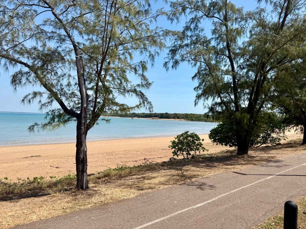
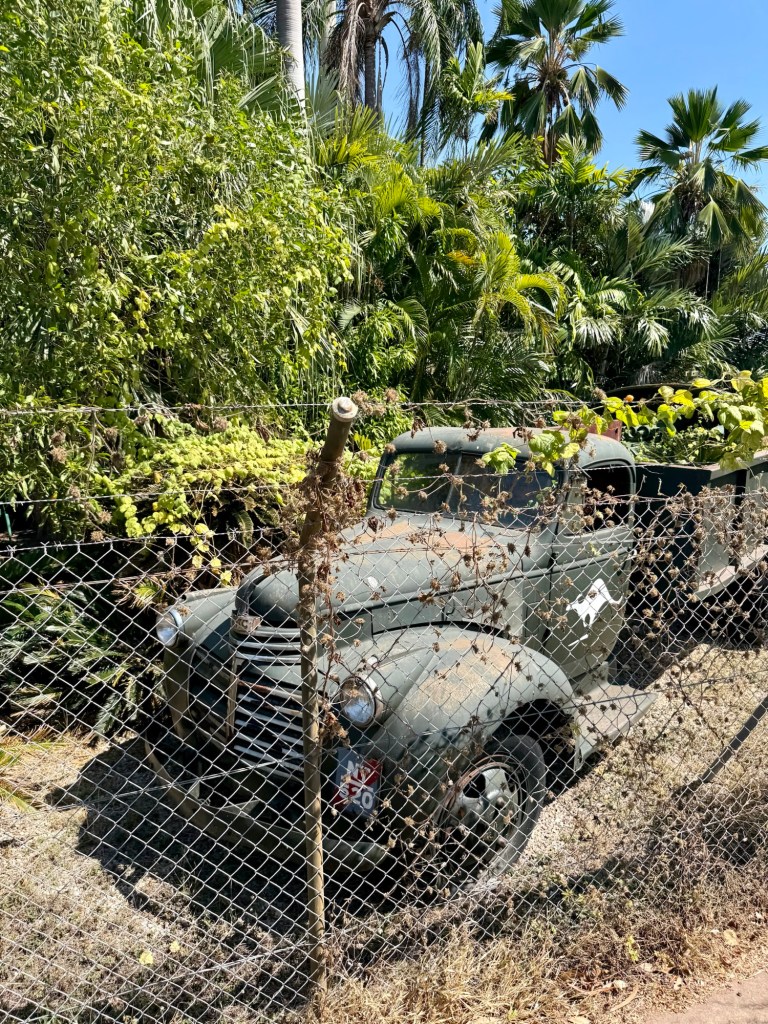
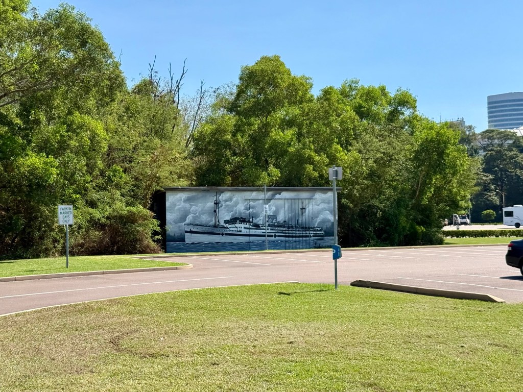
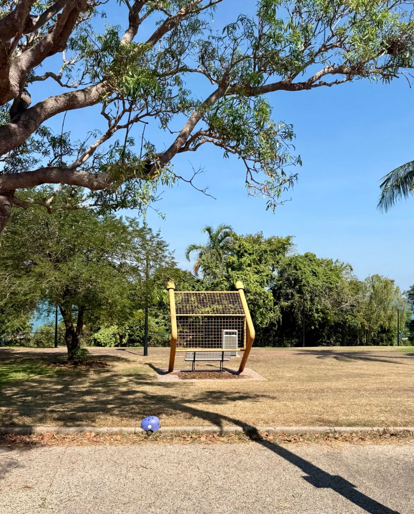
The town rebuilt but memories of the war are still around the city. Some subtlety, like park benches made out of anti aircraft guns and others less subtle such as Ammunitions storage bunkers and bullet holes.
Unfortunately, tragedy struck again on Christmas Day 1974, when Cyclone Tracy roared through, destroying over 70% of the city’s buildings. Cyclones are not uncommon in this part of the world, but Tracy was particularly devastating. The rebuilt was done with strict modern building code to make it more resilient to future storms.
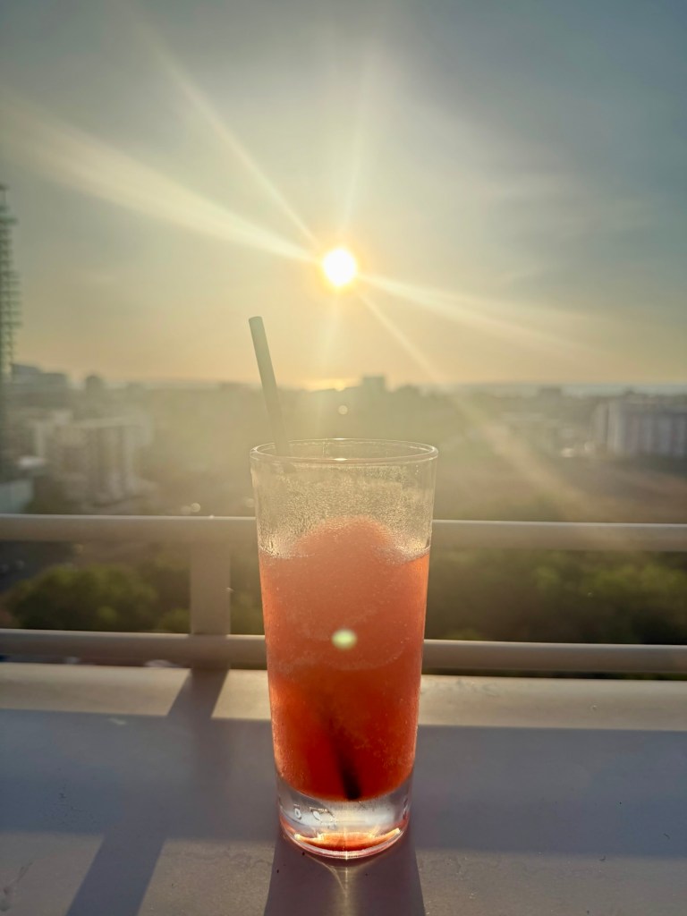
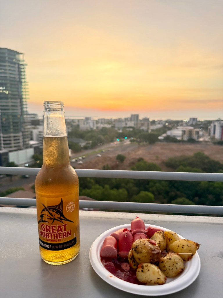
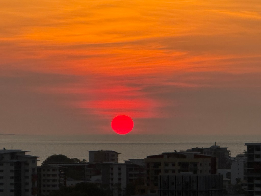
It was a relaxing way to see a bit of the town and learn a little of its history and by now I could check in to my hotel to refreshed up before checking out a rooftop bar for sunset. It was on top of a hotel and they provided free food with your drink. So, it was a cocktail, followed by a local beer, cheerios and potatoes for dinner – great balanced diet lol. The sunset was beautiful too.
The next day was a big one – a day trip to Kakadu National Park which would take around 12 hours. It was a small group (and coincidently 3 of the other passengers had travelled with me on my Asian Island Odessey) and we headed out of the city on Tiger Brennan Drive – the mayor during Cyclone Tracy, who apparently had been drinking and slept through it. Only to wake in the mooring to find his roof gone!
We then hit the Stewart Highway, that runs from Darwin, right the way through the central of Australia to Port Augusta in South Australia, over 2,700kms away
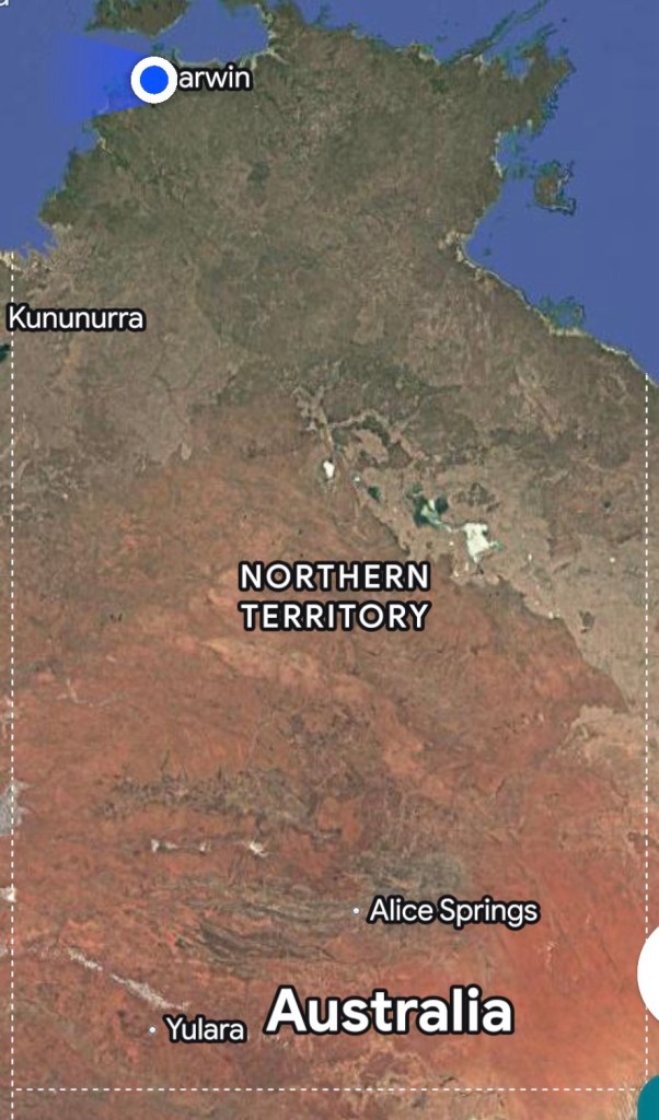
The Northern Territory of Australia is divided into 2 parts, the “Red Centre” (you just need to look at a map of the region to see here that is) and the “Top End”. I was travelling though the Top End, 80% of which is open Savannah woodland.
The area is generally hot and dry, or hotter and wet! Thankfully it is mid winter, so that means hot and dry, normally around 30-32 C. The heat and humidity build up towards December, when it can be 40C, with 95% humidity before the rains come. And when those rains come, they come hard and fast, often causing significant flooding. This year, there had been a lot of flooding, and some areas of the national park were still closed.
According to the traditional owners, there are 6 seasons, all that have indicators in nature e.g. when certain plants flower or animals give birth. As I mentioned, we are in the ‘cool, dry’ season but there are also seasons called the “build up” and the “knock ‘em down”. I love that.
At this time of year, they do burn offs to reduce the undergrowth and grasses to reduce fuel for fires in the dry season. They light the fires in the afternoon, and there is still enough moisture around for the fires to go out overnight without killing the trees. As we travelled, we passed patches of bush that were still smoking and in general the air was full of smoke. (That would also explain the very red sunrise I had seen the day before.)
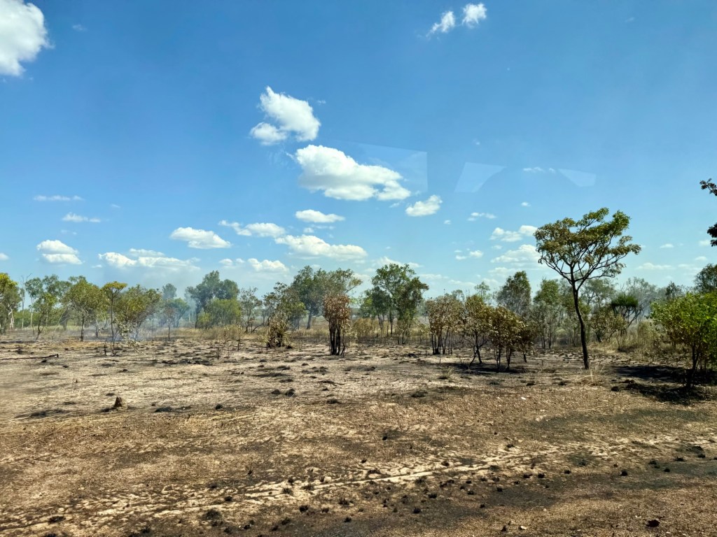
This is a technique used by the traditional owners as not only does it help reduce fire risk in the dry season, but it also clears areas to make it easier to hunt and many of the trees require the fires to reproduce.
Another weather adaption they have is growing shorter mango trees, close together so they are less likely to blow over in cyclones (the knock em down season)!
The traditional owners of Australia have a history dating back 65,000 years – to put this in perspective, the pyramids in Egypt were built only 5,000 years ago. Apparently, there are also 250 different aboriginal “countries” – each with their own culture and language and we were passing through 6 different “countries” as we drove to Kakadu.
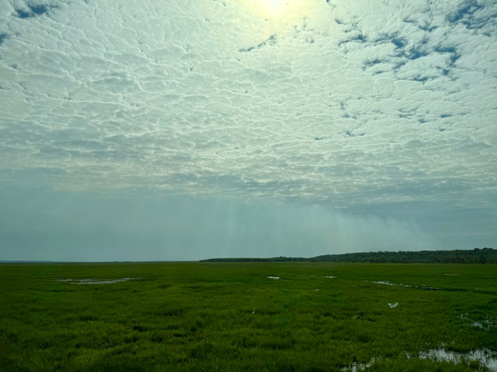
The first stop was at the Fogg Dam Conservation Reserve, a wetland system with a rich biodiversity. The dam itself was constructed for the Humpty Doo (love that name) Rice Project in the 50’s. Unfortunately, the project to grow rice failed (birds ate the rice lol), but it created an amazing habitat for over 200 specials of birds and other wildlife.
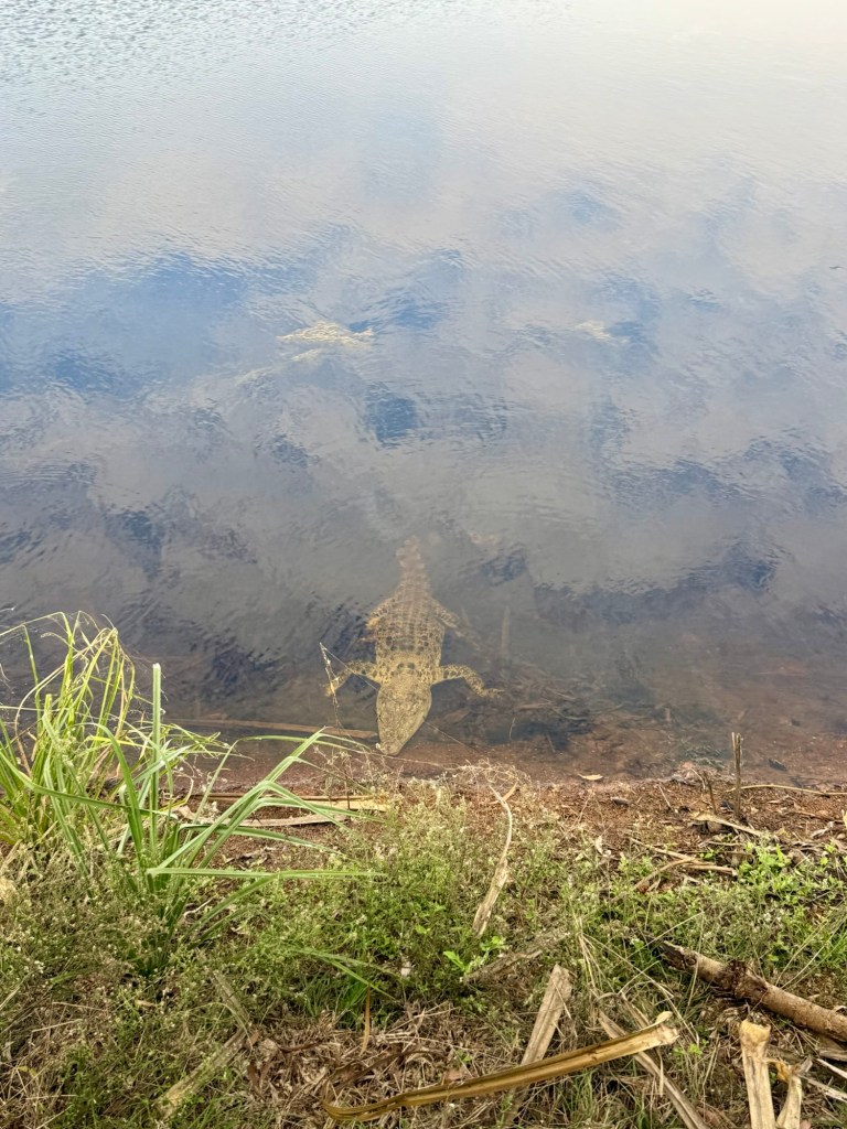
We weren’t allowed to get out of the bus on the dam itself due to the risk of their being crocodiles. Apparently, the floods allow crocs to get from the rivers into smaller areas of water and when the flood water recedes, they are stuck there. We did see a smallish one on the side of the dam, but these guys get huge and are very dangerous.
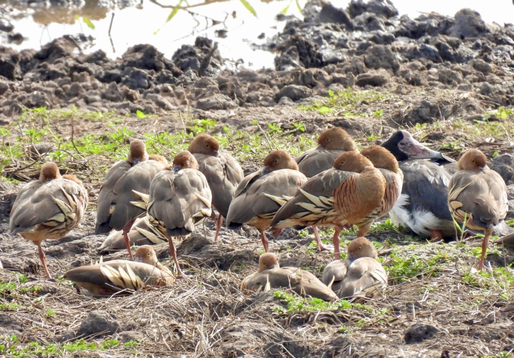
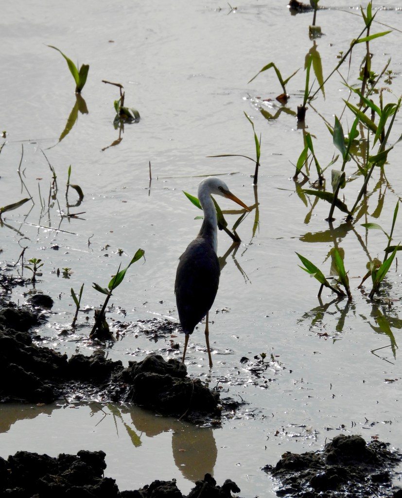
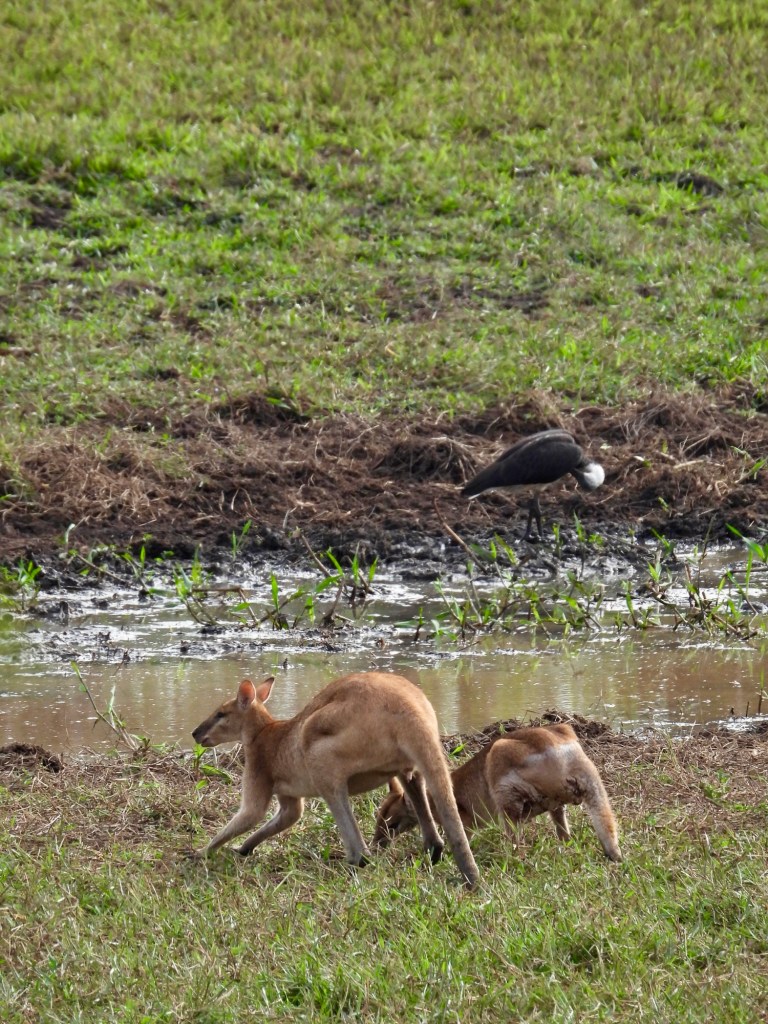
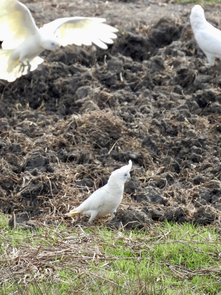
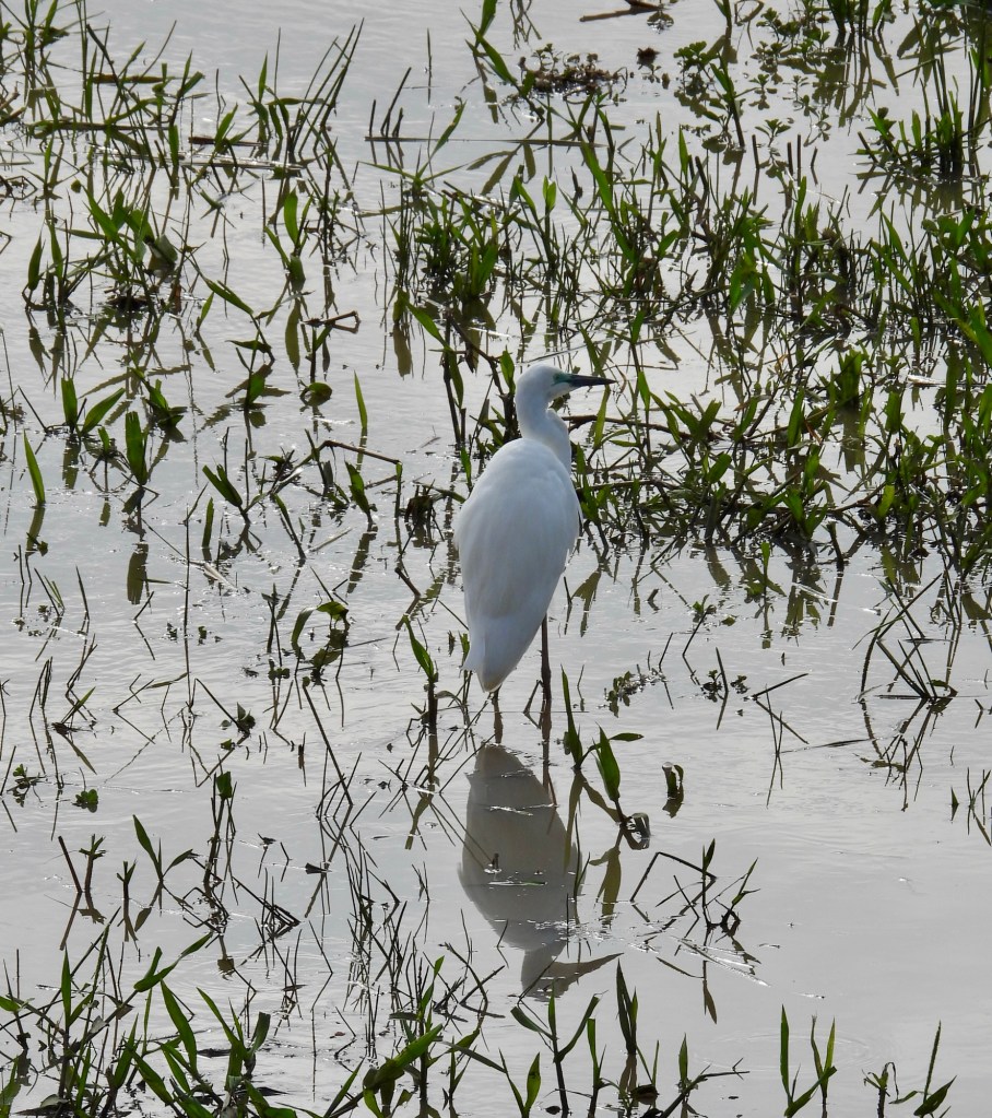
We did get the opportunity to get out of the bus at a lookout point and spotted a few different species, including egrets (little and large), a blue winged kookaburra, magpie geese (not actually geese), various cormorants, Australian darters, crimson finches and corellas. There were also some wallabies posing in the distance. There was an abundance of birds and I wish we had more time here … but alas we had a long way still to go so had to get back on the road.
I found it a little odd that our guide/driver was a Dutch girl. She was lovely and had clearly learnt a lot about the area, but the trip had been advertised as an insight into local traditional and cultures, so I had at least expected a local guide. Another bus travelling with us had a guide who had such a broad Australian accent, I am not sure I could have listened to it all day so maybe it was not so bad!
We crossed the tidal Adelaide River, one of the rivers that floods the plains in the wet season, and we were now on the Arnhem Highway that leads into our destination for the day, Kakadu National Park.
The park is a World Heritage site the covers almost 20,000km2 (about the size of Wales). It is so big, you can only see about 1% of the park from the roads. Apparently, this year it looks a little different due to the excessive rains with some plants flowering out of the normal system, and 25% of the park is still closed. The 1985 Land Act gave ownership of the land back to the traditional owners (I am not going to go in to how they had been stripped of not only their land, but also their culures and languages). They, in turn, leased the land back to the Government and they now co-manage it at the national park.
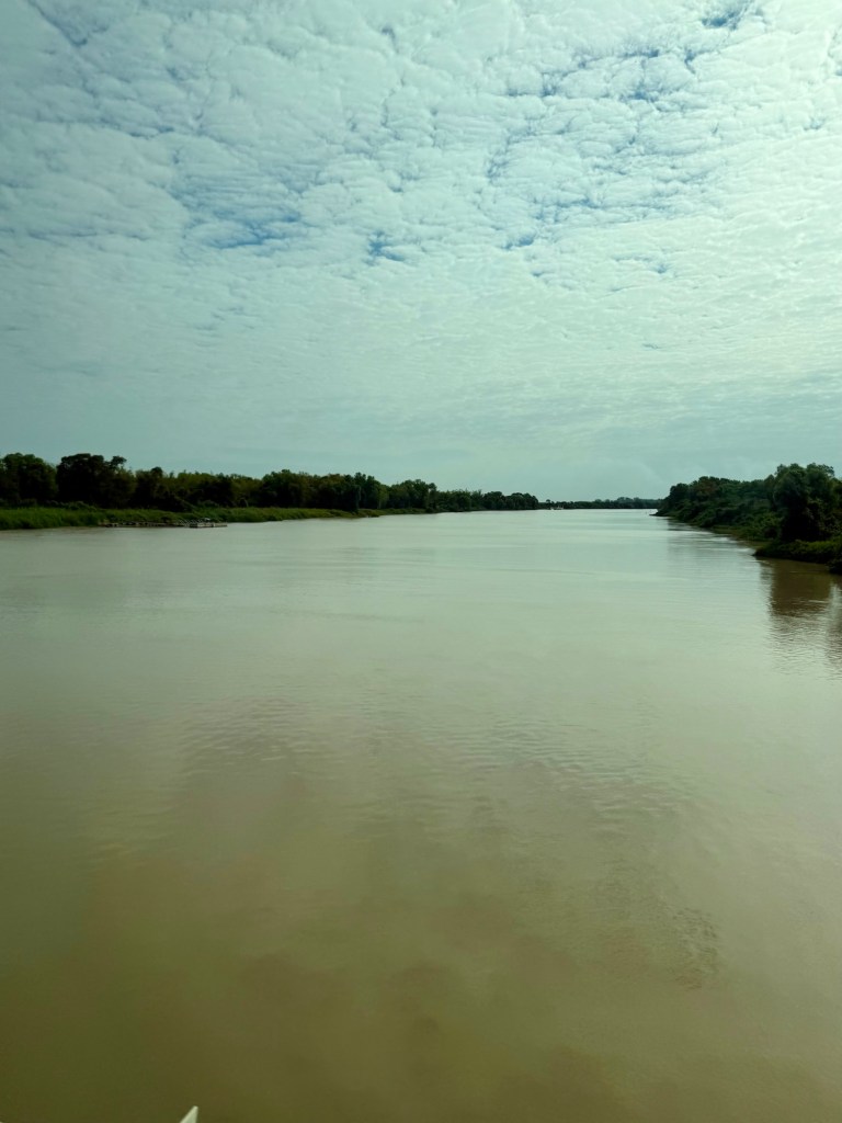
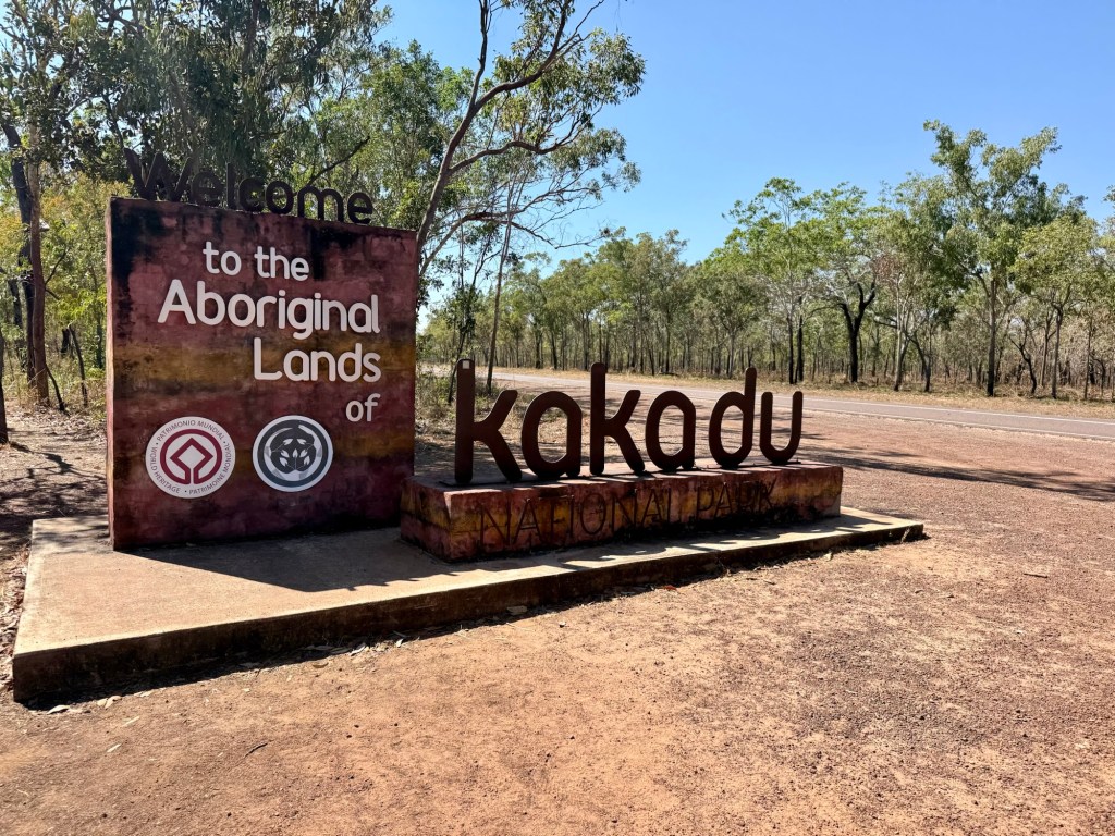
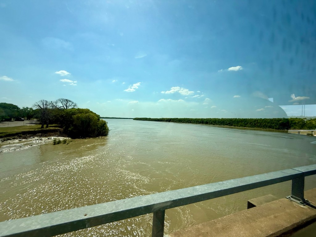
We crossed over Mary River (apparently has the highest concentration of saltwater crocs) before taking a quick stop at the entrance sign for the mandatory photo stop, and then across the South Aligator flood plain – that can be over 4km wide and 30-40cm deep in the wet season (and maybe full of crocs??).
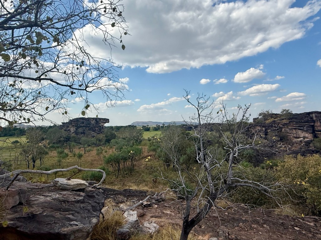
Our main stop for the day was on the Arnhem Land plateau, a massive stone escarpment made up of Proterozoic rocks 1,650 to 1,400 million years old! In some areas the 300 meters high cliffs were sea cliffs 140 million years ago. The rock is filled with heavy metals such as gold, tin and uranium meaning mining also takes place in the area.
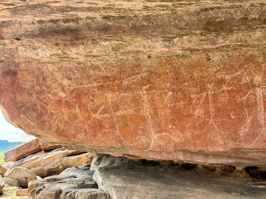
The landscape was truly stunning, but the main reason for the visit was Ubirr, which hosts some of the world’s most outstanding rock art. The art and shelters are indicators of human habitation dating back 60,000 years.
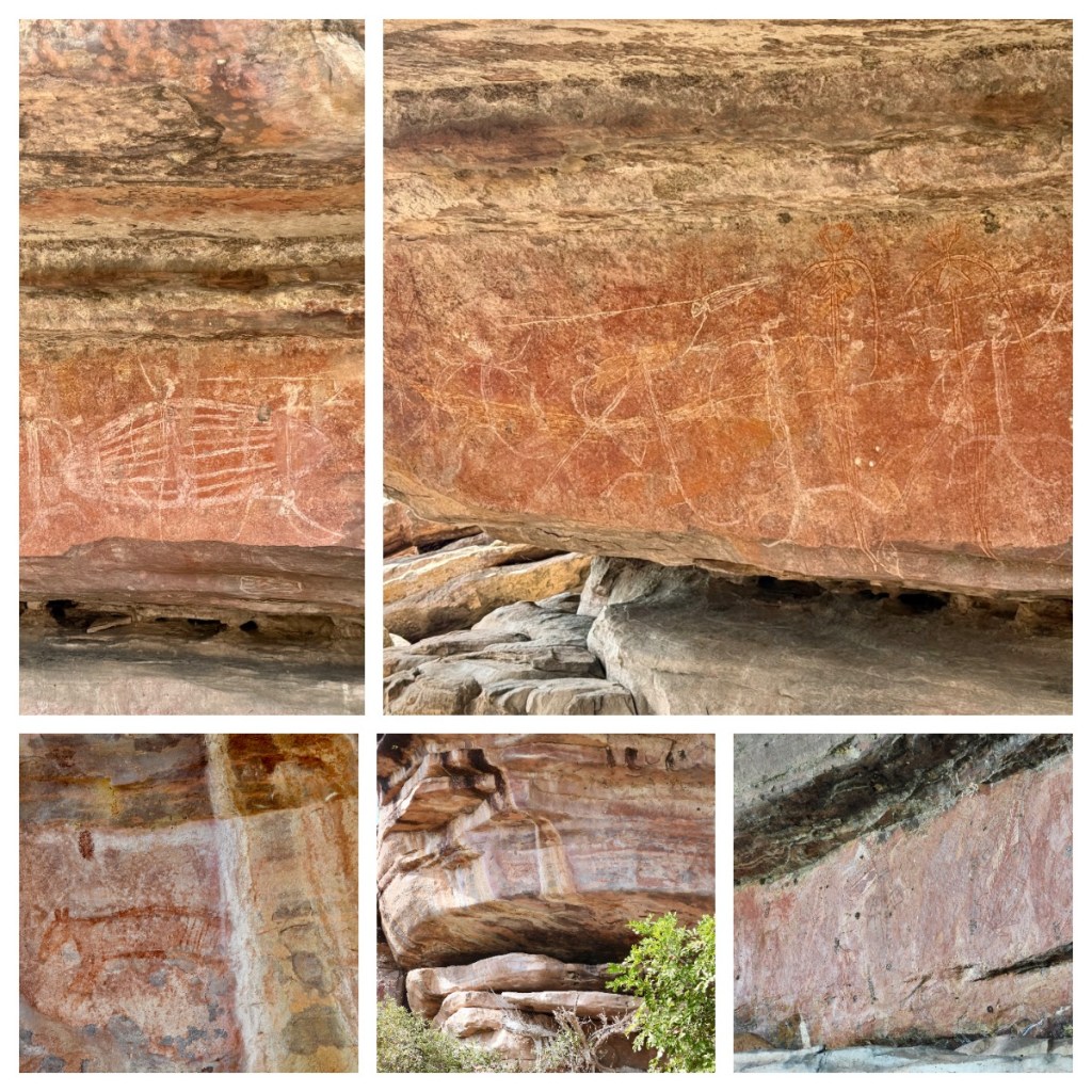
The paintings generally depict legends and human interactions with the environment and can be in the form of x-ray, where they are generally depicting animals and fish, and contact act, which are more recent and show interactions with white people. One particular picture depicts a Tasmanian Tigers which are believed to have become extinct on the mainland 2-3000 years ago.
After having some lunch in a small picnic area, we took some time to walk around the key art sites that are open to the public (there are many more that the public can not access). Our guide shared some of the information she has learnt about the art as we looked at it. Apparently, it is impossible to know the true age of the paintings as nothing can be carbon dated.
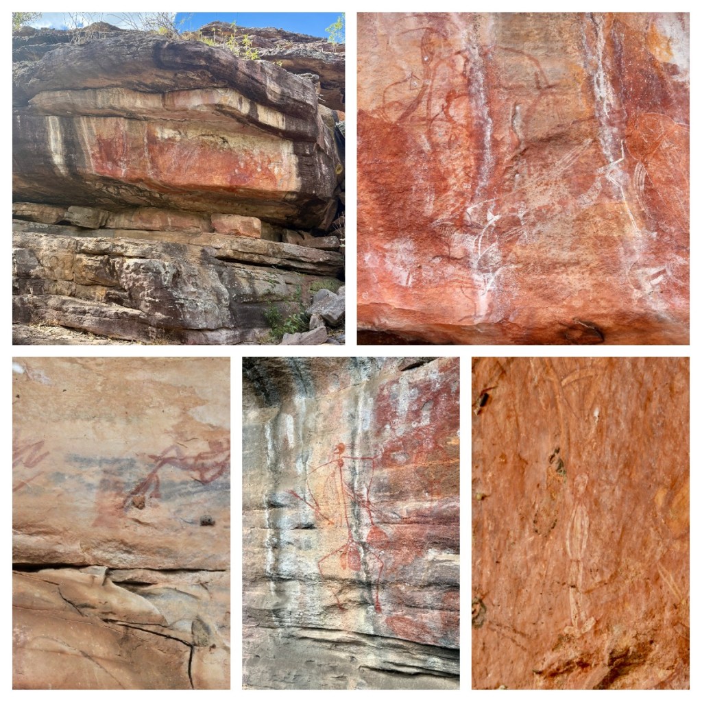
The paintings are of different ages and in different styles, some on top of each other. Some, the subject is obviously, others take a little imagination. Handprints mean it is safe to sleep in that area. In some spirits are depicted with 4 fingers and humans with 5 fingers. One even shows a white man with hands in pockets.
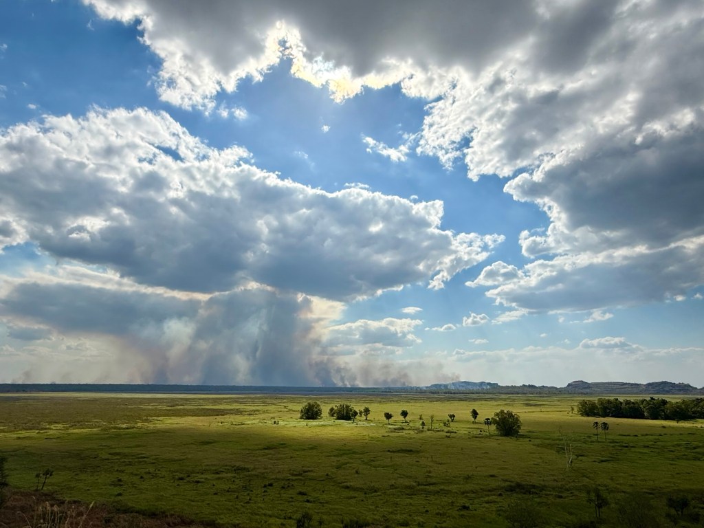
The landscape actually reminded me of parts of Zimbabwe, rock art included. From the view point you could see for miles, across the relatively green plains and the smoke from the fires in the distance actually looked really cool – it was hard to tell if it was smoke going up, or cloud coming down.
Sadly, it was time to start heading home, and after a brief stop at an outback pub for a drink and some dinner, we made the long drive back to Darwin.
I had booked the hotel room that evening, so was grateful to have somewhere to relax for a few hours before getting ready for my early morning flight to Melbourne and then onwards to home and the end of a great trip.

