April 2025
Travel day is always exciting, but I could not get too excited until I finished work for the day. Luckily, I had put my out of office response on my emails the day before so I just had to tidy up loose ends and it was not too stressful. That said, I really need a holiday!
The hype for this holiday was great. I loved telling people I was going to the Caucasus and see their blank face, as most people don’t know where it is. Even when I named the countries, some were still none the wiser. I love going to unique places!
Today I was flying on the Emirates A380, straight from Christchurch, It’s a great route and a good plane, but I will miss the luxury of the lounge and perks I get with Star Alliance flights. Thankfully, I didn’t have any long stopovers scheduled so I knew I would survive. (I didn’t know it then, but this would come back and bite me later in the journey.)
It’s been a few years since I have had to pass time in the tiny Christchurch International area – 4 shops and 2 eating places lol. Still, there lots of places to sit, and I managed to occupy myself for the almost 3 hours by moving around the seating areas, reading my book and having a sneaky glass of bubbly.
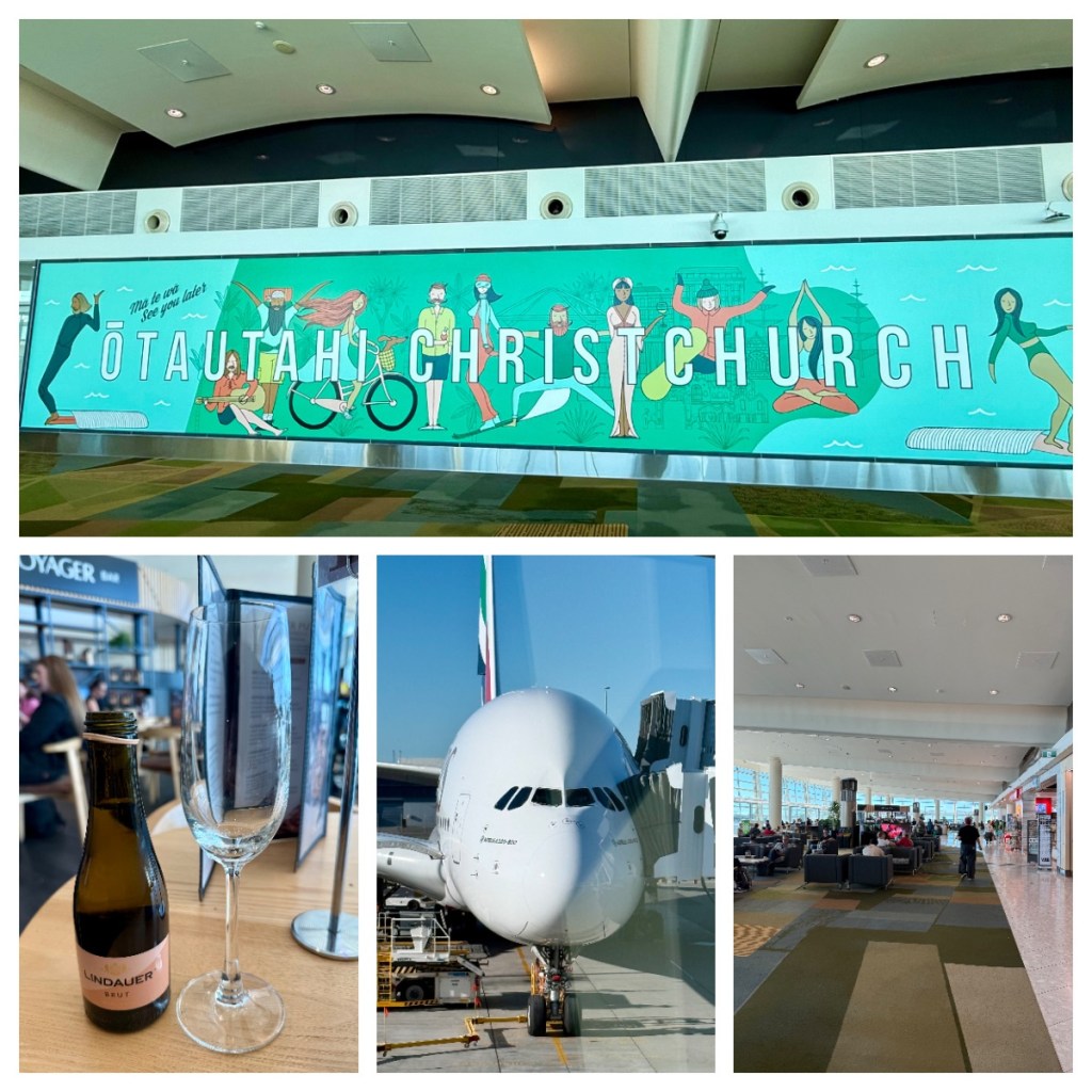
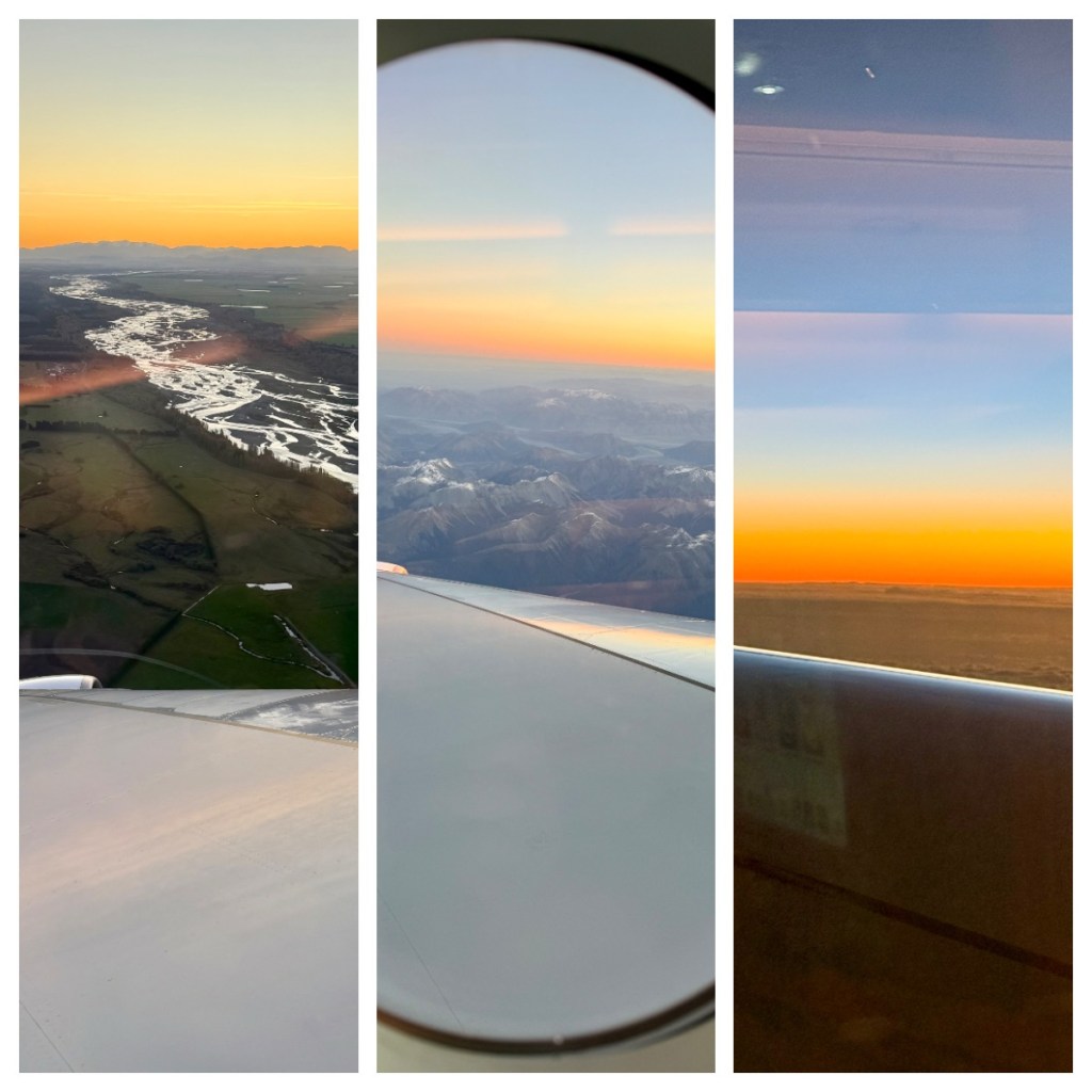
My first flight for the day was just under 3 hours, from Christchurch to Sydney. I did have a window seat but it was over the wing so not such a good view, but could still enjoy the beautiful sunset over the mountains as we took off.
After a couple of hours on the ground, I boarded my second flight, almost 15 hours to Dubai. Thankfully I managed to get some sleep to pass the time, and chatted with my seat companions – a couple who were on their way to a wedding at Antelope Aark in Zimbabwe, where I used to live! A lovely small world moment.
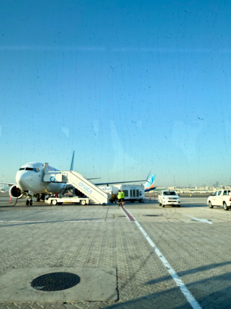
This is where my 2 hour layover bit me! In Dubai, I had been told, I had to catch a bus for 20 minutes to the next gate for my FlyDubai flight (Emirates budget airline). So we left behind the flashy Dubai airport as this side was more like a bus stop than an airport. The bus actually took closer to 30 minutes and by the time we arrived, my flight boarding had begun, and the mayhem started as soon as I got off the bus.
We had more security, with a long queue and lots of people pushing and shovelling …. so I joined the pushing and shovelling to get to the front so I could get to my gate. No time for the toilet or to fill my water bottle and oh, the cruelty of seeing a Starbucks but had no time to get a coffee.
To add to the connection stress, I was trying to confirm a pick up time for a night tour I had booked. The first message I received told me that pick up time was 2pm at the Old City gate … ummm but my tour starts at 6.30 and has a hotel pick … ok, they reply, we will pick you up at your hotel at 8.30!
Again, but my tour starts at 6.30 – and finally they said, we have changed the time because of the traffic! Is traffic is always bad at that time? If so, why sell a tour to start at that time, or were they randomly predicting it will be bad? A gentle reminder not to try and find logic as sometimes there just is none!
Sadly I had to cancel it as it was something to help me kill time before I could go to bed – the chance of me staying awake that late was very small, and I have 2 more nights in Baku so will hopefully be able to do it another night.
After all that stress, I was on my my final flight that took me from Dubai to Baku, the capital of Azerbaijan, sitting on the shores of the Caspian Sea. I was on the wrong side of the plane to see the sites of Dubai but got great views of the barren Middle Eastern landscapes and on to snow capped mountains.

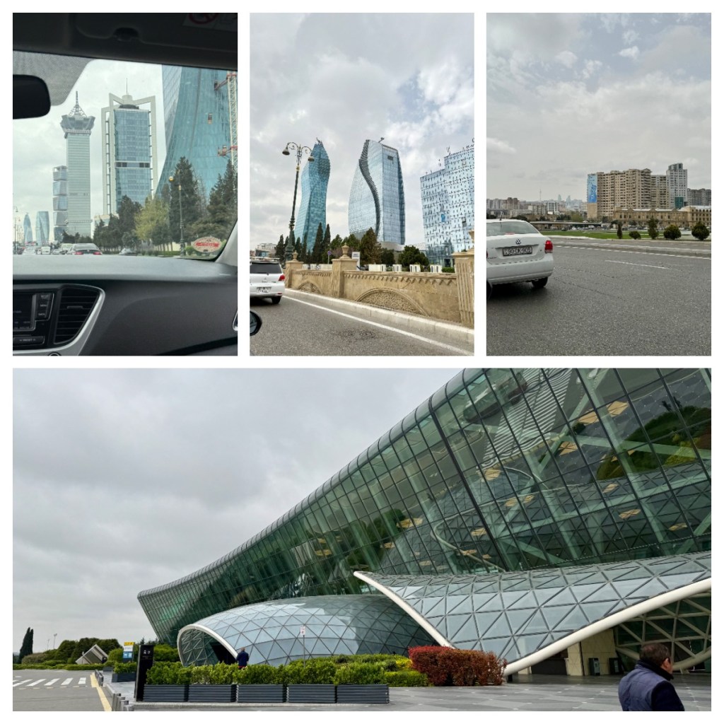
Heydar Aliyev International Airport in Baku was modern and clean, and within 10 minutes of landing I was through immigration, waiting for my bag. (For Azerbaijan, I needed to get an evisa in advance so entry was easy with that in hand.) I changed a little money (to Azerbaijani Manat) while I waited for my bag, and 35 minutes after deplaning, I had my bag, found my driver for my pick up and was on my way to my hotel.
Initial views of the city were a mismatch of buildings ranging from Soviet style to hyper modern and wide European boulevard type streets. I am sure I will learn more in the coming days.
The hotel is nice, and after dropping my bag, I went for a walk to explore the area. Just down the road I came across a serious high end shopping mall, but thought it best to cross the street and go in to the more normal looking mall (with shops like Zara and Mango). It was cold, with a howling wind (I did not know that Baku is sometimes known as the windy city!) so I was grateful to be inside.

Was it wrong that my first meal in Azerbaijan was McDonald’s? Probably, BUT, I navigated the order in Azerbaijani and … it came with an incredible view that I may not have seen if i did not go there. So I think that balances out.
More to come soon …
Get Outlook for iOS